Discover the top applications of 3D laser scanners in modern surveying, from construction and civil engineering to land development.
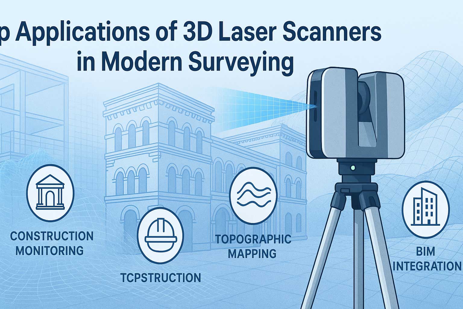
Learn how this advanced technology is transforming accuracy and efficiency in the field. 3D laser scanners have revolutionized the way professionals collect spatial data in the field of surveying. With their ability to capture millions of accurate measurements in seconds, they are now widely used across industries for a variety of critical applications. In this article, we’ll explore the most common and impactful applications of 3D laser scanners in modern surveying.
Here is below Top Applications of 3D Laser Scanners
1. Construction and Building Information Modeling (BIM)
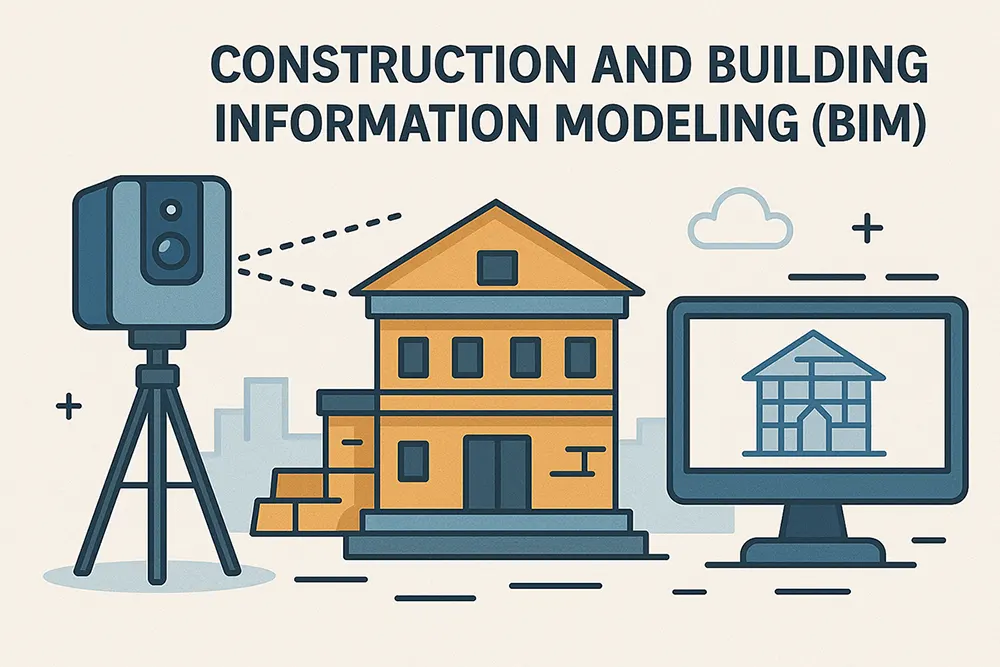
One of the most prominent use cases of 3D laser scanners is in construction and BIM. Scanners provide detailed as-built models that help architects, engineers, and contractors track project progress, detect deviations, and maintain design accuracy.
With real-time data, teams can make quick decisions, avoid costly rework, and ensure that the project stays aligned with original blueprints.
2. Heritage Preservation and Cultural Documentation
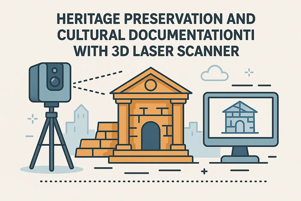
3D laser scanners are invaluable for preserving historic structures, monuments, and archaeological sites. They can digitally capture fragile or deteriorating details with millimeter-level accuracy.
These digital models are used for virtual museums, restoration planning, and academic research, all without disturbing the original site.
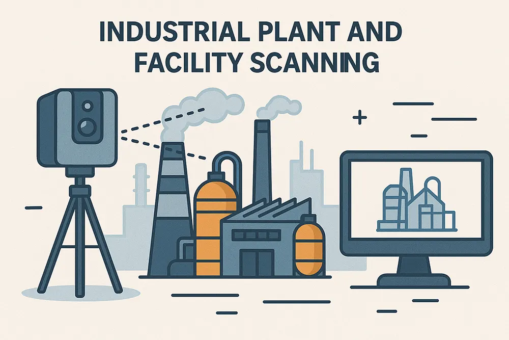
3. Industrial Plant and Facility Scanning
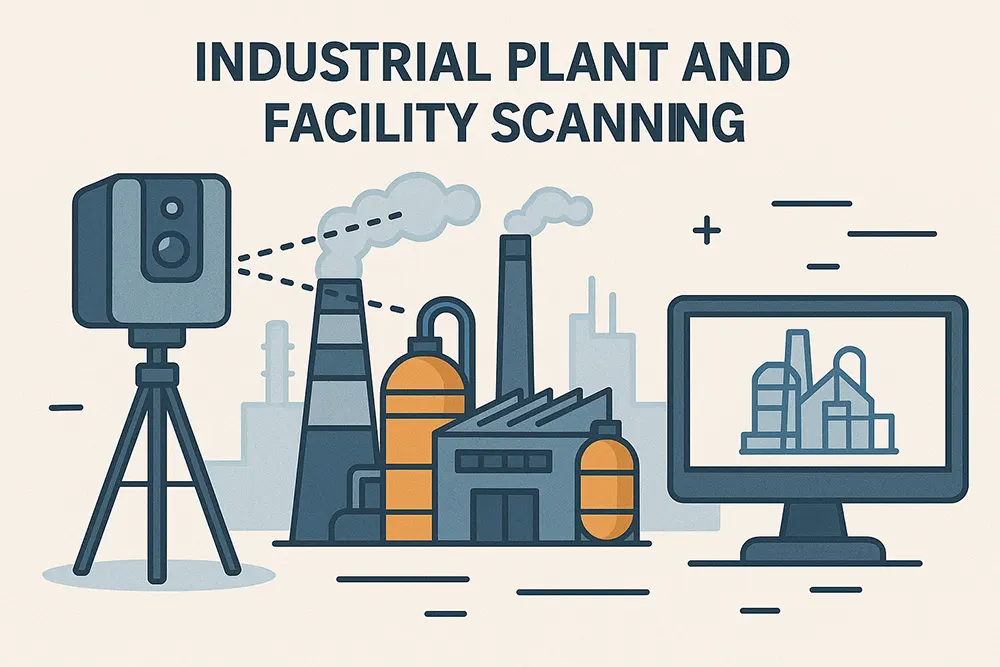
In complex industrial environments like oil refineries, factories, and power plants, 3D scanners are used to map piping systems, mechanical layouts, and hazardous zones. This allows engineers to plan retrofits or maintenance without manual measurements.
The result is a safer, faster, and more cost-efficient way to manage infrastructure.
4. Roadway and Bridge Surveys
Transportation departments and civil engineers use 3D laser scanners to assess roadways, bridges, and tunnels. These surveys are faster and more detailed than traditional methods, helping teams identify structural issues, surface degradation, and precise dimensions for maintenance planning.
This is particularly useful for government agencies and public infrastructure contractors.
5. Mining and Quarry Mapping
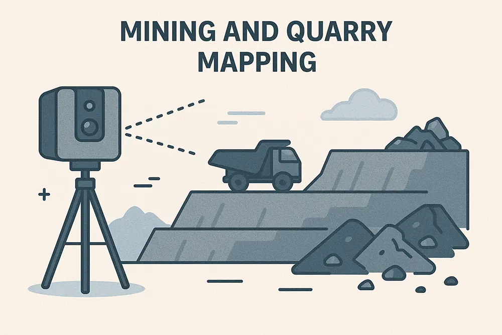
3D scanning is becoming a go-to solution for mapping stockpiles, monitoring slopes, and ensuring worker safety in mining and quarry operations. The technology provides accurate volumetric data to support planning and compliance reporting.
This ensures better operational control and hazard identification in real-time.
6. Forensic and Accident Investigation
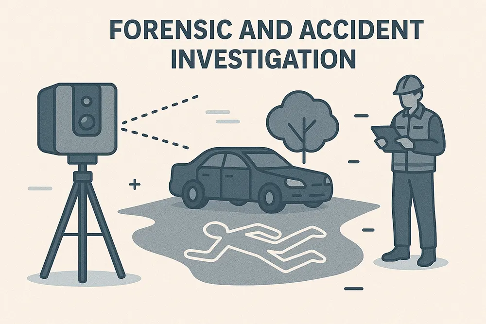
Law enforcement and forensic teams use 3D scanners to capture crime scenes or accident sites. The generated models preserve critical spatial evidence that can be analyzed or presented in court.
This enhances investigation accuracy and allows for repeatable virtual walkthroughs during legal proceedings.
7. Tunnel and Underground Infrastructure
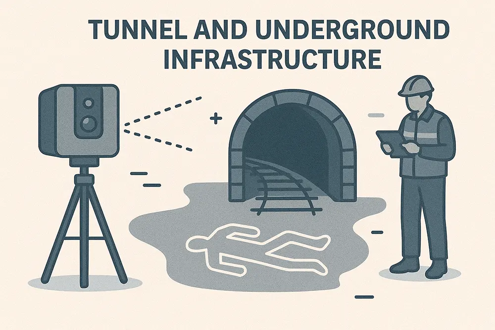
When working below the surface, accuracy is everything. 3D scanners help engineers monitor underground tunnels, pipelines, and subways without disrupting operations.
Their high-resolution output is ideal for detecting alignment shifts, deformation, or wear over time.
Why Are 3D Laser Scanners Becoming Standard in Surveying?
The shift toward digital workflows in engineering and surveying makes 3D scanning an essential tool. Benefits include:
- Reduced time in the field
- Minimal human error
- Enhanced collaboration through digital models
- Better documentation for future reference
Get Started with 3D Scanning Today
If you’re ready to integrate 3D laser scanning into your workflow, explore our range of industry-leading scanners and accessories. You can also read our guide on how to choose the right 3D laser scanner for your needs or visit our partner resource for product reviews.
Leave a Reply