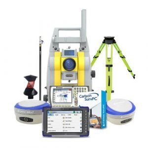
Description
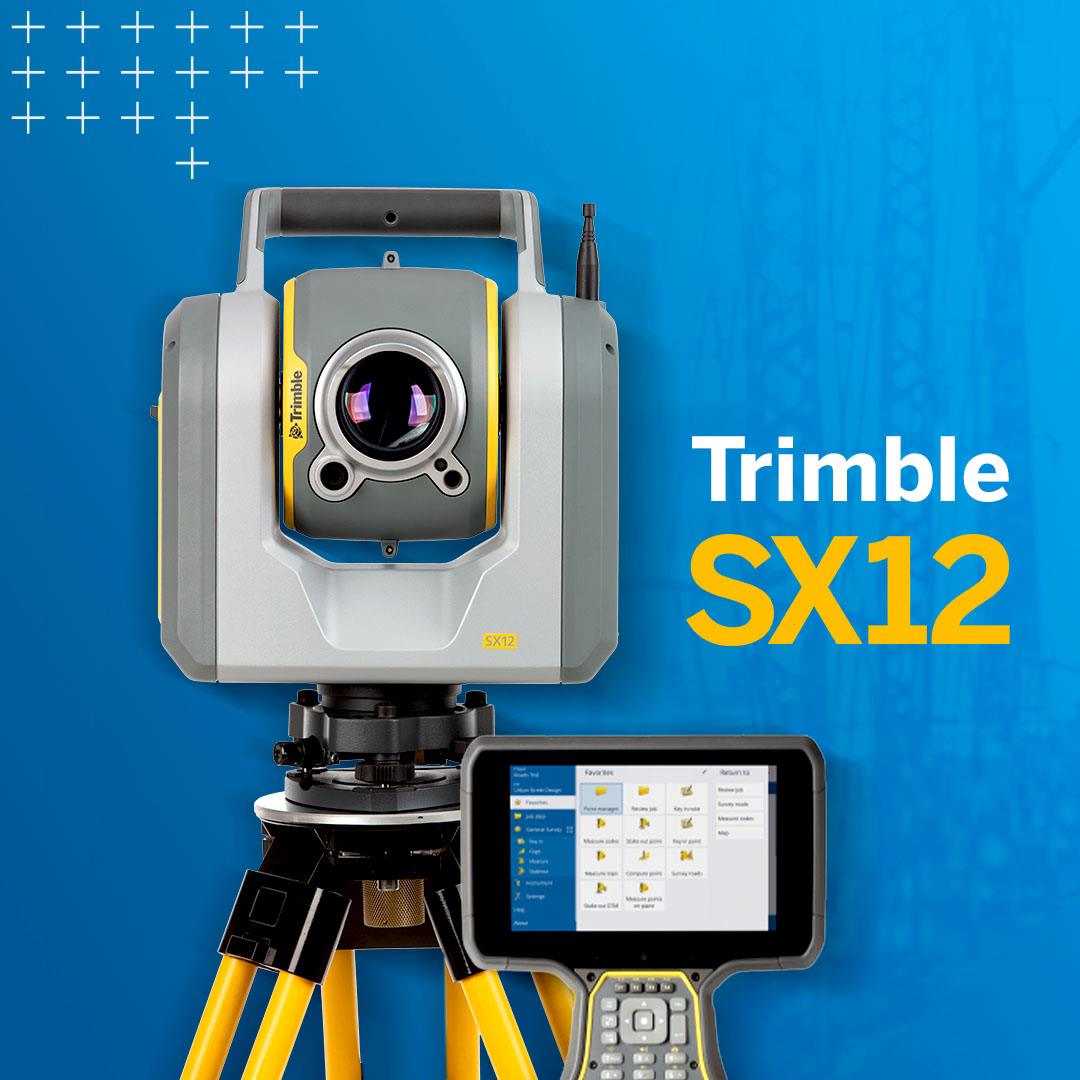
Trimble SX12 Scanning Robotic Total Station
Trimble SX12 is the one instrument you need to handle any survey project by integrating surveying, imaging, and 3D scanning capabilities into your everyday workflow.
With the new SX12 scanning total station that integrates surveying, imaging, and 3D scanning capabilities, Trimble offers a single instrument for any type of surveying project. The instrument merges high-speed 3D laser scanning, Trimble VISION imaging technology, and high-accuracy total station measurements into the familiar field and office workflows for surveyors.
Trimble SX12 Key Features
The SX12 is the one instrument you need to handle any survey project by integrating surveying, imaging, and 3D scanning capabilities into your everyday workflow.
- Collect survey data, VISION imagery, and high-speed scans easily with Trimble Access field software and the SX12’s Lightning 3DM.
- Process seamless with Trimble Business Center office software or with Trimble RealWorks Office Software for more advanced scan processing
- Share with anyone using web-based Trimble Clarity
- Relay on your equipment for years to come with the Trimble Service and Warranty Guarantee
- Aim, measure, and mark effortlessly. A green focusable laster pointer yields the smallest spot size in the industry, just 6mm at 100m
- Stay eye-safe without compromising laser visibility
The SX12 is a high-accuracy total station and captures high-quality scan data: it has a 1″ angular accuracy, 1.5 mm scan range noise at 200 m, and a 14 mm diameter EDM laser spot at 100 m. Even at long range, the data capture is quick, with a 26.6 kHz scan measurement rate up to 600 m. The total station measuring time in prism mode is 1.6 s, while in DR mode this is 1.2 s.
A new green, focusable Class 1M laser pointer is safe for viewing with the naked eye, offers high-power visibility, and easy to see even at a distance. The laser pointer is very small, bright, and still eye-safe and has a 3 mm diameter laser pointer spot at 50 meters. The SX 12 offers simple navigation and documentation with a Trimble VISION camera system, which consists of three integrated and calibrated cameras in the telescope.
Trimble Geospatial announced the release of a new model of the SX12 Scanning Total Station. Compared to its predecessor, the SX10, the new total station has an updated built-in camera system and a laser pointer. Increasing the resolution of the built-in cameras allowed for a smaller pixel size, which, together with improved processing, resulted in sharper images with richer colors and less noise (especially in low light).

A telescope camera with the narrowest field of view can be used to create super detailed metric panoramas with a pixel size of less than a millimeter at 50m.
A laser pointer is available as an option for the SX12. This eye-safe Class 1M green laser has three power levels and focuses a laser spot with a diameter of only 3mm at 50m. Thanks to its bright pointer, the SX12 can be used in new applications such as laser guidance in drilling and excavation, stakeout and blast hole staging, and actual condition monitoring in underground tunnels and mines.
The new SX12 Scanning Total Station is supported by Trimble Access software version 2021.00 and later installed on TSC7, T7, and T10 controllers.
Extended Capabilities
The SX12 merges high-speed 3D scanning, precision total station measurement, enhanced Trimble Vision and a green focusable laser pointer — all tied together with familiar field and office workflows for end-to-end efficiency.
Powerful
- Achieve both high-speed scanning and ultra-accurate measurements in a single instrument using 3DM with LightningTM technology.
- Get fast, flawless hi-res captures with a high-resolution camera system and enhanced Trimble VISION.
- Trust MagDriveTM and Autolock® technologies for smooth, stable operation.
Flexible
- Move fluidly between total station functionality, scanning, and image capture all in one tool.
- Benefit from expanded capabilities for surveying with tailored workflows for tunneling, underground mining, and monitoring.
Easy to Use
- Use familiar Trimble AccessTM field software workflows and integrate seamlessly with Trimble Business CenterTM and Trimble RealWorks office software.
- Just open your data and get to work — no registration necessary — and share your output with anyone using web-based Trimble Clarity.
Applications
- Topographic Survey/General Surveys (Boundary/Land Title Surveys)
- Roadway/Corridor Surveys (Roadway design and Topo)
- Volumetric Surveys (Stockpile volumes)
- Infrastructure Surveys (Civil Infrastructure As-Builts)
- Building As-Built and Design Surveys
- Utility Design Survey
- Power Line Inspection/Clearance
- Forensics/Crash Scene Investigation
- Mine/Quarry Survey
- Tank Calibration/Inspection
- Dimensional Control
Software
Trimble Business Center lets you fully integrate SX12 data into your projects using the familiar workflows of the marketing leading survey office software. Enhanced point cloud management, automated extraction, and interoperability to leading CAD and GIS packages ensure that you can satisfy even your toughest client demands.
The Trimble Tablet Rugged PC operates the feature-rich, intuitive Trimble Access field software. Streamlined workflows guide crews through common project types, helping to get the job done faster with fewer distractions. Trimble Access workflows can also be customized to fit your needs.
Back in the office, trust Trimble Business Center software to help you check, process, and adjust your optical, leveling, and GNSS data in one software solution. No matter what instruments you use in the field, you can trust that Trimble Business Center office software will help you generate industry-leading deliverables.

Reference Library
- SX12 Scanning Robotic Total Station Manufacturer Information
- SX12 Scanning Robotic Total Station Brochure