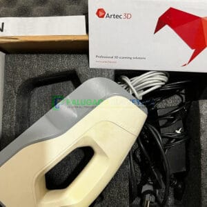
Description
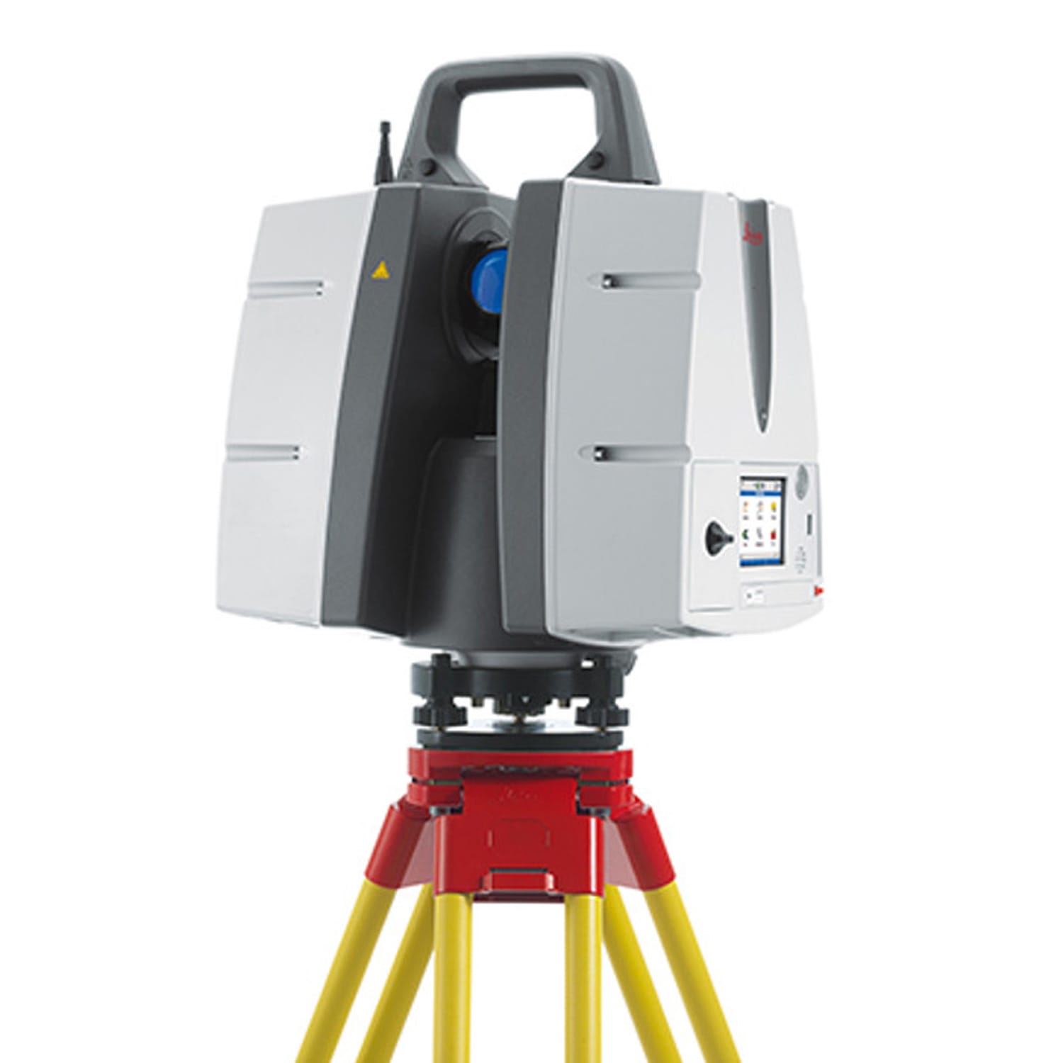
Leica ScanStation P40 3D Laser Scanner
Leica ScanStation P40 3D Laser Scanner
Integrated 3D laser scanning solution providing unsurpassed speed, accuracy and range for demanding scanning projects.
The Leica ScanStation P40 3D Laser Scanner offers uppermost adaptability including extended range abilities. Delivering exceptional speed, range and data quality wherever and wherever required. It is the ultimate solution for any 3D laser scanning task.
The correct choice
Whether acquiring 3D geometry of civil infrastructure, generating an as-built illustration of an industry development or producing 3D data for Building Information Modelling (BIM), you will need a true long range scanning instrument for projects. The Leica ScanStation P30 and P40 laser scanners are the best choice.
Extreme performance in tough environments
The Leica P30 and P40 bring the highest quality HDR imaging and 3D data at a scan rate of 1 mio points p/second at distances of up to 270 meters. Supreme angular accuracy and range combined with survey-grade dual-axis compensation and low range noise form the basis for highly comprehensive 3D point clouds (colour) mapped in lifelike clarity.
Decreased downtime
The robust ScanStations function under the harsh working conditions, such as intense temperatures varying from – 20°C to + 50°C and conform to the IP54 rating for water and dust resistance.
Comprehensive scanning solutions
Leica ScanStation portfolio from Leica Geosystems comes as an integrated piece of a comprehensive scanning solution. Data can be processed in the foremost 3D point cloud software suite, consisting of Leica Cyclone, Leica CloudWorx and the free Leica TruView.
The right choice
Whether you need a detailed as-built representation of a facade, a 2D floor plan, 3D data for integration into Building Information Modelling (BIM), capturing 3D geometry of roads, rails, tunnels and bridges or high-definition scan data for topographic maps and as-built surveys, you know you’ll need an accurate long range scanning tool for your projects – the ScanStation P30/P40 laser scanners from Leica Geosystems are the right choice, because every detail matters.
High performance
Reducing downtime, the extremely durable 3D laser scanners perform even under the toughest environmental conditions, such as extreme temperatures ranging from – 20°C to + 50°C and comply with the IP54 rating for dust and water resistance.
Complete scanning solution
Leica Geosystems offers the Leica ScanStation portfolio as an integrated part of a complete scanning solution including hardware, software, service, training and support. 3D laser scanner data can be processed in the industry’s leading 3D point cloud software suite, which consists of Leica Cyclone stand-alone software, Leica CloudWorx plug-in tools for CAD systems and the free Leica TruView.
ScanStation P30/P40 delivers
- Highest quality 3D data and HDR imaging
- Extremely high speed scan rate of 1 million points per second
- Ranges of up to 270m
- Low range noise
- Survey-grade dual-axis compensation
- Highly detailed 3D colour point clouds mapped in realistic clarity