Difference Between 3D Laser Scanners and Total Stations, two essential tools stand out: 3D laser scanners and total stations.
While both are used for precise measurement and data collection, they operate differently and serve distinct purposes. In this article, we’ll break down the key differences between 3D laser scanners and total stations to help you decide which one suits your project best.
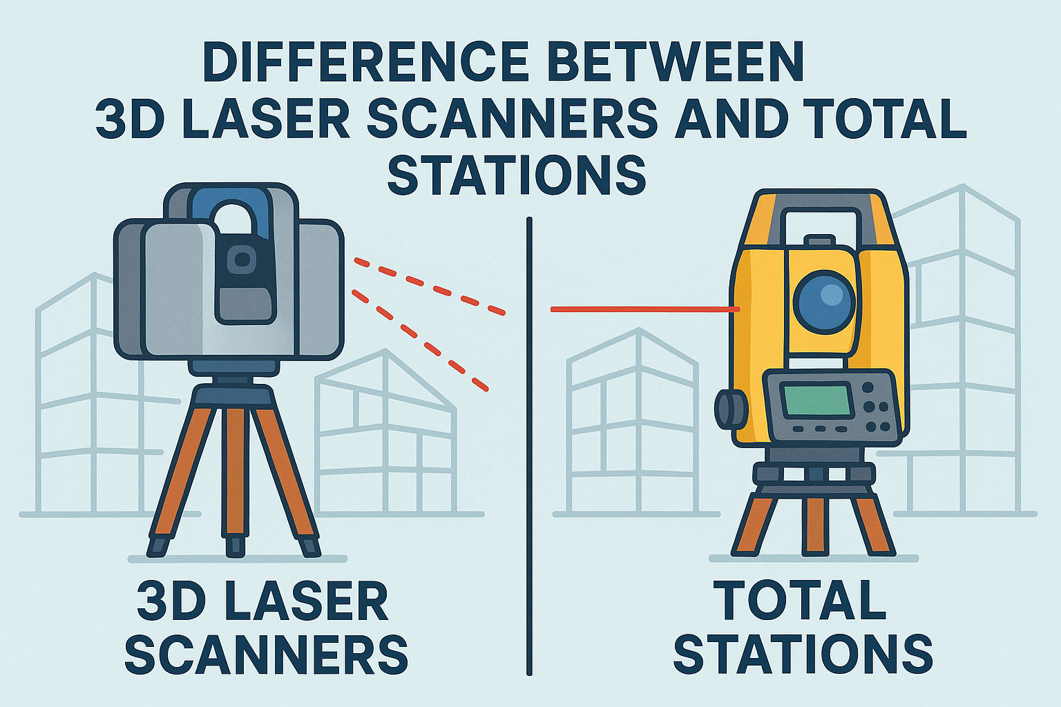
What Is a 3D Laser Scanner?
A 3D laser scanner uses laser pulses to rapidly capture millions of data points from physical surfaces, creating a detailed point cloud representation of the scanned environment. These point clouds can then be transformed into 3D models for visualization, measurement, or analysis.
This technology is ideal for projects that require high-detail modeling such as:
- Architecture and Building Information Modeling (BIM)
- Heritage preservation and restoration
- Industrial plant scanning
- Forensic investigations
What Is a Total Station?
A total station is a traditional surveying instrument that combines an electronic theodolite with an electronic distance meter (EDM). It measures horizontal and vertical angles, along with slope distances, to determine precise coordinates of specific points.
Total stations are commonly used in:
- Topographic and boundary surveys
- Construction site layout
- Infrastructure development
- Land division and parceling
Comparison Table: 3D Laser Scanners vs Total Stations
| Feature | 3D Laser Scanner | Total Station |
|---|---|---|
| Measurement Output | Point clouds (millions of points) | Single point coordinates |
| Speed | High-speed full-area capture | Manual, slower point collection |
| Data Type | 3D model, mesh, or CAD-compatible | Text-based coordinate data |
| Operator Skill | Moderate to advanced | Entry-level to advanced |
| Best Use Case | Detailed modeling and documentation | Precise layout and land surveying |
| Cost | Higher | Moderate |
When to Use a 3D Laser Scanner vs a Total Station
Use a 3D laser scanner when your project demands high-resolution models, fast data acquisition, or full environmental capture. This makes it ideal for complex structures, heritage documentation, and engineering inspections.
On the other hand, a total station is better suited for construction site layouts, boundary marking, and conventional surveying where fewer data points are sufficient but high precision is required.
Which Tool Should You Choose?
The decision ultimately depends on your project’s goals, budget, and timeline. Many modern surveyors use both technologies together—laser scanners for capturing full context and total stations for high-precision point checks.
For deeper insights, check out our full guide on choosing the best surveying equipment and explore product comparisons at this recommended resource.
Conclusion
Understanding the difference between 3D laser scanners and total stations is essential for choosing the right tool for your surveying needs in 2025. Whether you’re building, scanning, or mapping, using the correct equipment improves productivity, accuracy, and deliverable quality.
Leave a Reply